Southern Chile's Dramatic Landscapes
February 2022

This blog will describe Southern Chile: Puerto Montt, two impressive glaciers, Punta Arenas, and our transit around Cape Horn, the southernmost part of Tierra Del Fuego, South America.
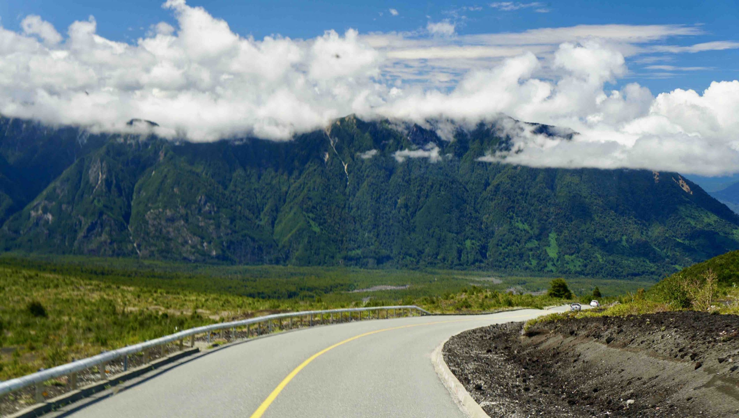
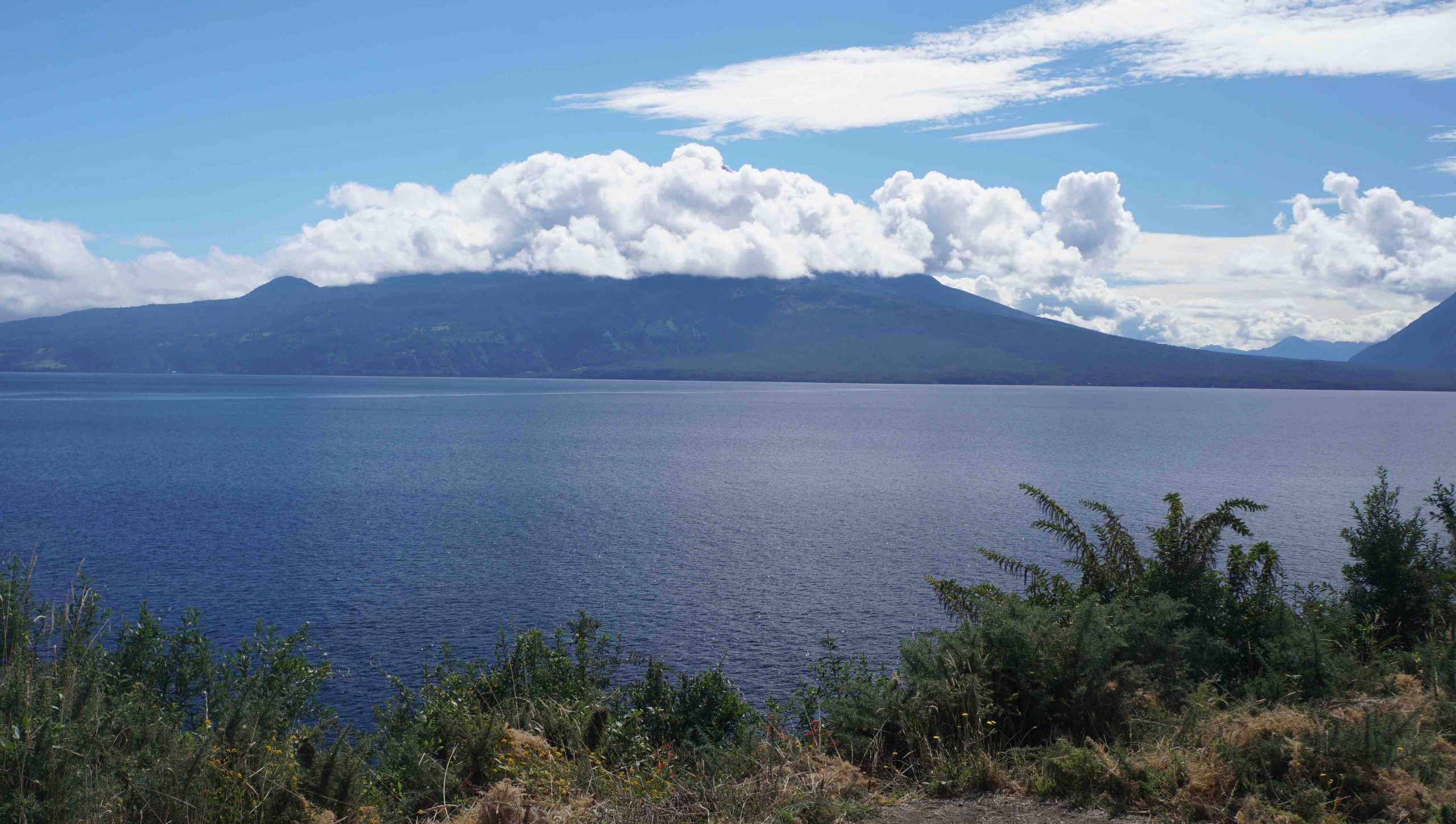
Puerto Montt, founded in 1853, is the capital of Chile’s northern Patagonia province, and is the gateway to Chile’s Lake District, a beautiful region of lakes and volcanoes, in a lush landscape that reminded me of the verdant rolling hills of Tennessee and North Carolina. Our six hour bus excursion carried us by Chile’s second largest lake, Llanquihue Lake, which appeared many times larger than Lake Tahoe, in a setting dominated by the nine-thousand-feet-high Osorno Volcano.

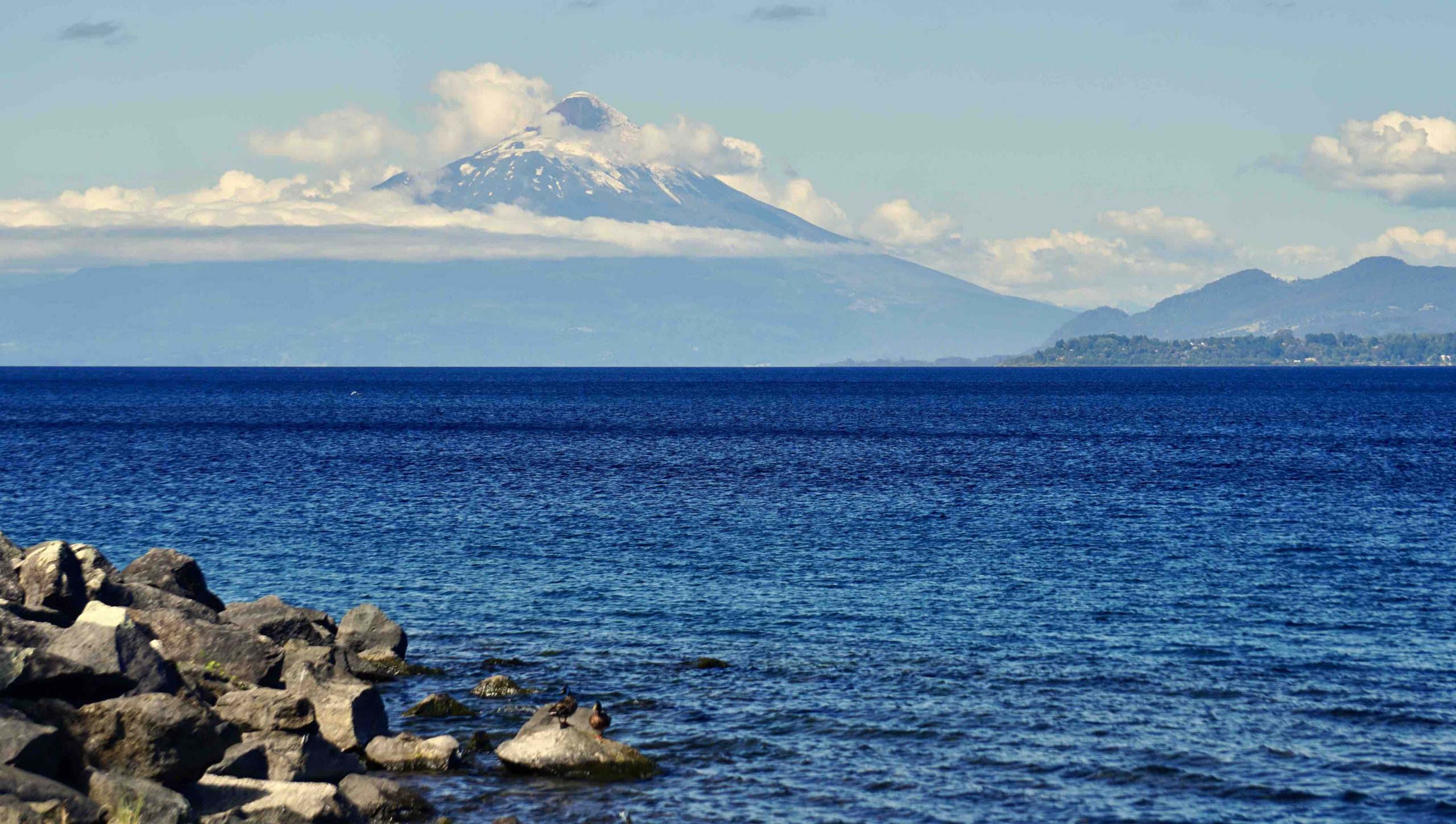
We eventually reached the four thousand foot level of the Osorno Volcano. The Osorno Volcano has not erupted for several hundred years, though a nearby volcano erupted only ten years ago. Chile’s many volcanoes are part of the “ring of fire”, the seismically active rim of the large Pacific plate, the largest and most active plate in the earth’s history of continental drift.
Unfortunately, we had no view at all from the four-thousand-feet vantage point due to clouds. When the bus had completed its half hour descent from the volcano through the “temperate rain forest” on its lower slopes, we looked up to see that all the clouds had burned away from Osorno’s peak. Our visit was simply half an hour ahead of the great weather. Our tour guide suggested that we take a photo of the clear volcano, tell our friends that we had driven halfway up the mountain, and simply not mention the fog.
Chile’s Lake District has a history of settlements by immigrants from Germany during the 19th century. In the 1850’s, Chile had only recently gained independence from Spain. In order to promote development, the Chilean government advertised in flyers posted around Europe that European immigrants could receive free land if they would promise to develop it for agricultural uses. This invitation to immigrants attracted Croatians, Italians, Greeks, and other Europeans. But by far the largest number came from Germany. Their presence is most visible in the town of Puerto Varas, in its street names and culinary influences. The German word Kuchen (cakes/pastries) was advertised by restaurants and small food vendors all around Puerto Varas. I asked our guide about his knowledge of German culture. He said that he only knew a few words of German, but that some older generation Chileans still speak German as their mother tongue.
Puerto Montt lies several hundred miles south of our previous port stop, Valparaiso, and so the weather in the Lake District is cooler and wetter than farther north. It snows on the mountain tops but never at lake level. As I write this, it is the summer season in February. Our ship took on supplies of Chilean wines and fresh fruits in Valparaiso as well as Puerto Montt. It’s been a pleasure to have fresh cherries, nectarines, apples, and pears available for several days following our port visit in Puerto Montt.

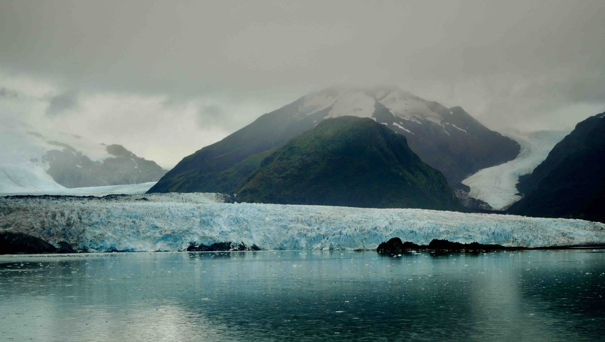
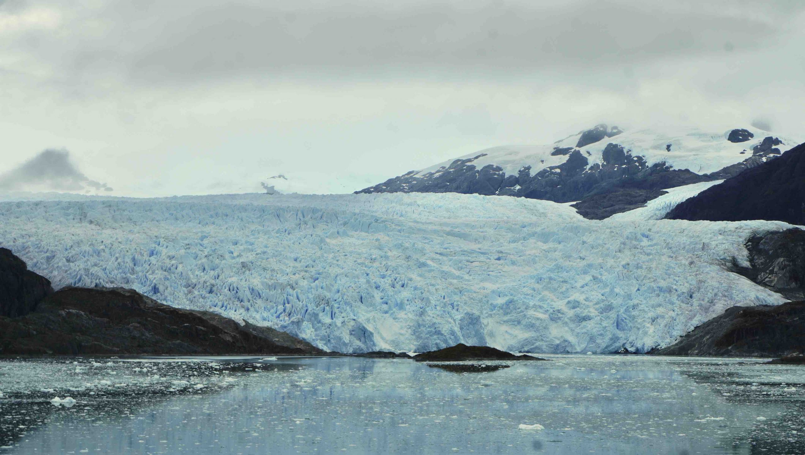
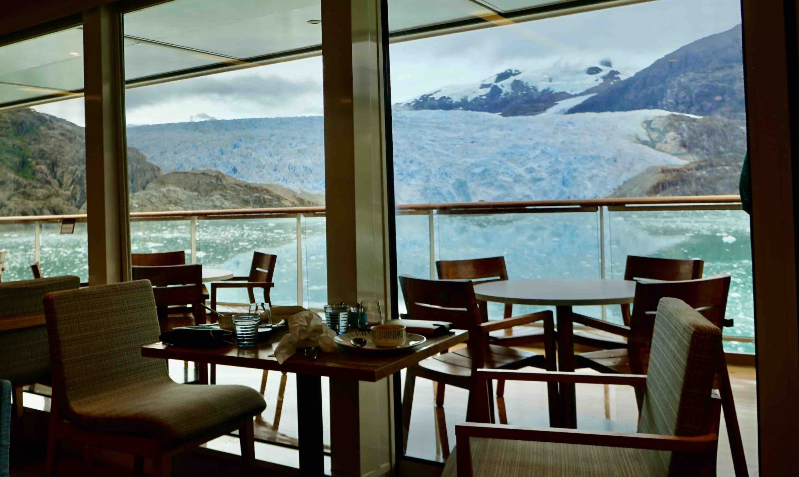
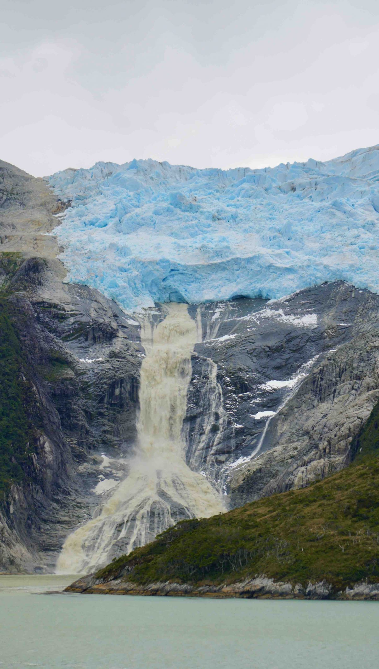
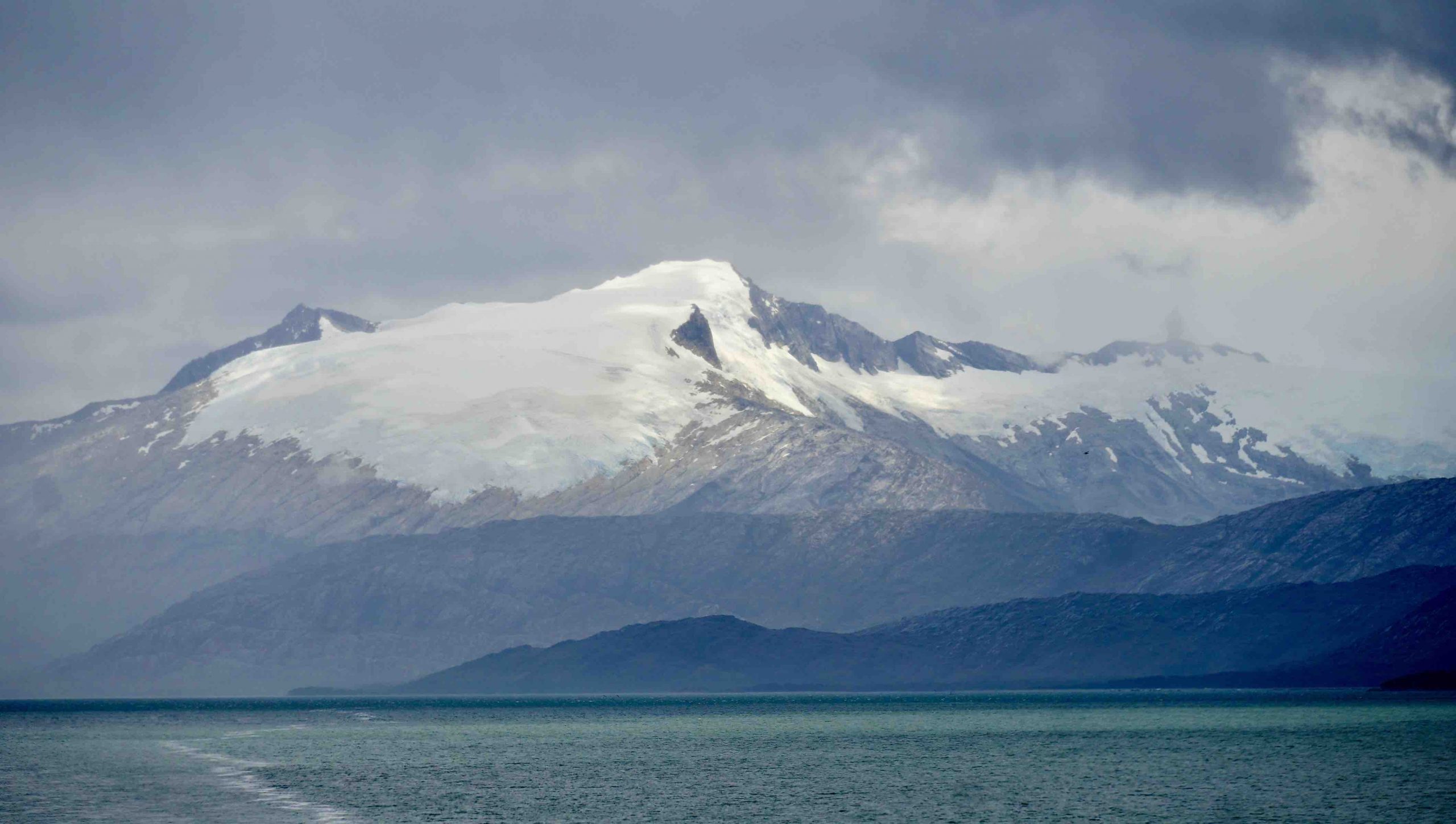
We are blessed to have several excellent guest lecturers on board, who speak about the geography, culture, and history of our cruise destinations. Here are a few interesting facts I learned. There are two huge ice fields extending hundreds of miles along the Andes mountain range. These northern and southern Patagonian ice fields define the border between Chile and Argentina. (The boundary is the continental divide for run-off to either the Atlantic or Pacific oceans. There have been conflicts between Chile and Argentina as to exactly where that border lies. But since no one lives on the ice sheets, the boundary is primarily strategic and symbolic.) The Chilean ice fields are the third largest repository of fresh water ice reserves on the planet. Antarctica in the largest; Greenland is second; then Chile is third. Our cruise up the Chilean fjords revealed landscapes identical to what we have seen in Alaska and Norway. Yet Chile has more glaciers than either of those regions. We visited the Amalia and Skua glaciers, of which only the tips were visible. The longer of these two glaciers, Akua, is forty-one miles long, extending from the Southern Patagonian ice field.
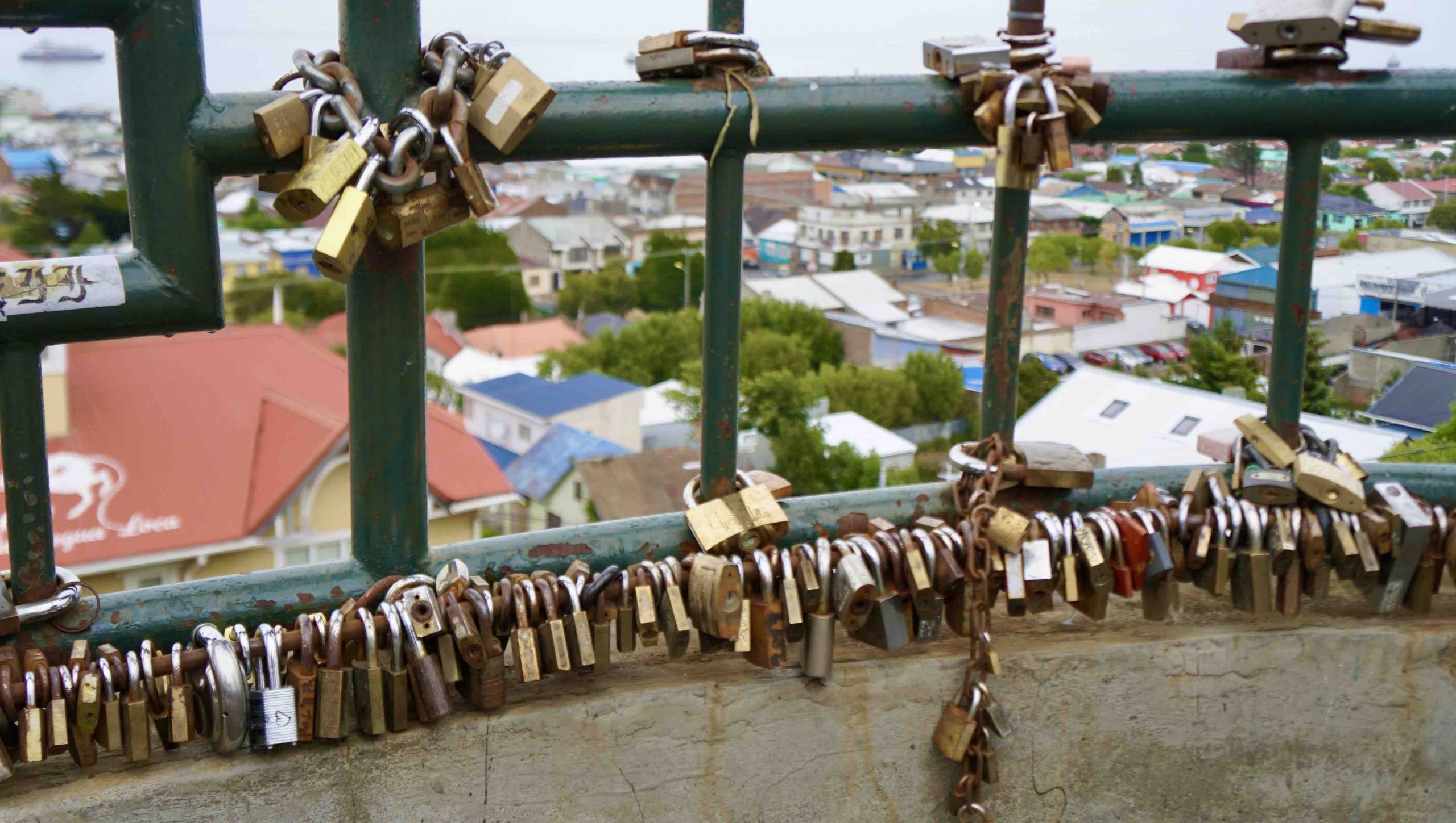
Our final port of call in Chile was Punta Arenas, Southern Chile’s largest city founded in 1848, which was (like Valparaiso) an important international port prior to the opening of the Panama Canal. Currently, it serves as the starting point for many commercial expedition cruises to Antarctica. Like most port cities, Puna Arenas is multi-cultural. It’s largest group of foreign immigrants are Croatians, who helped establish large sheep farms that were established across southern Patagonia.
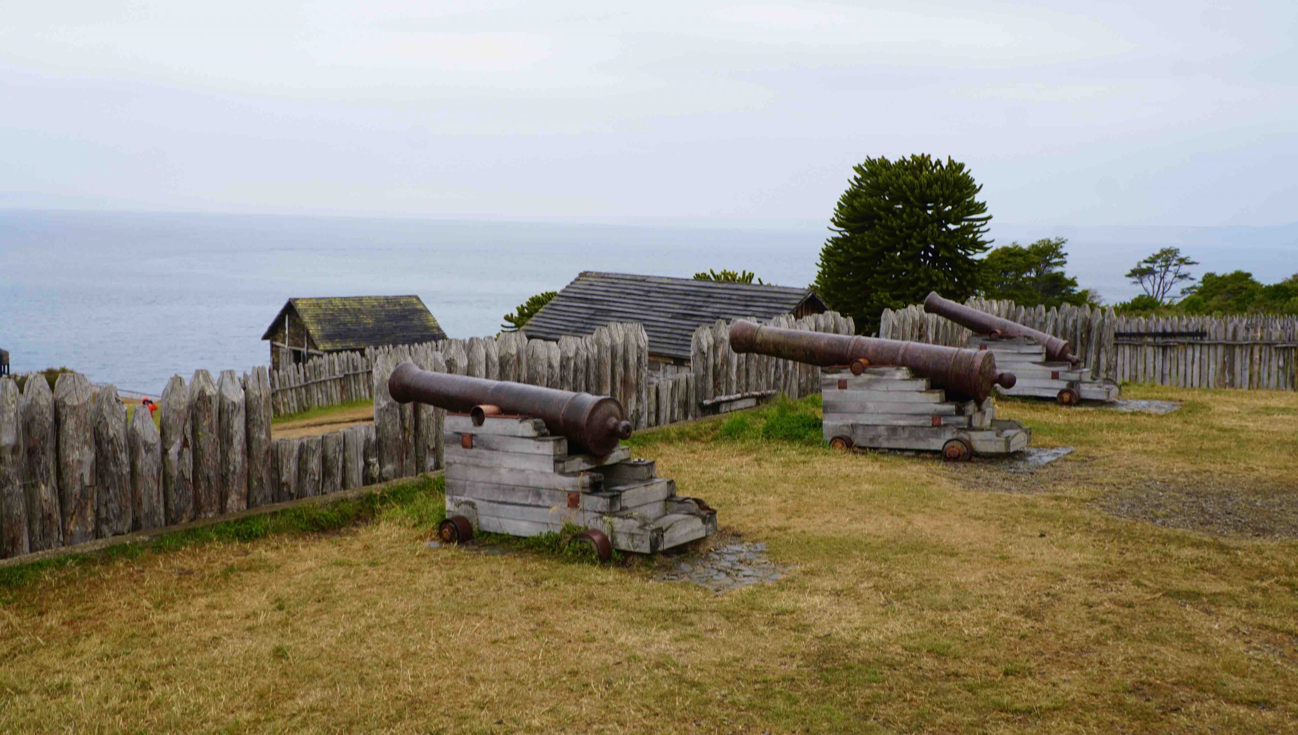
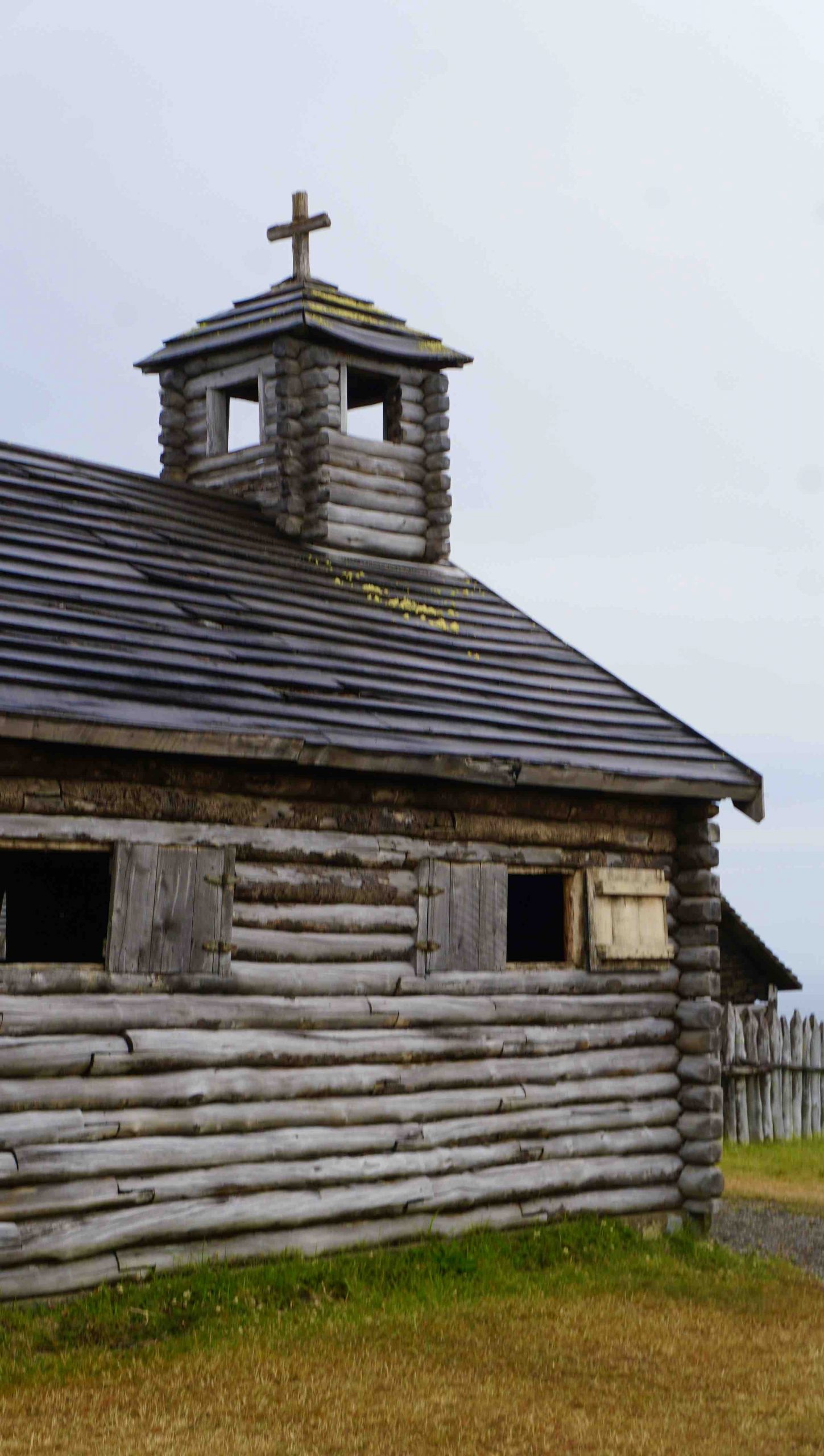
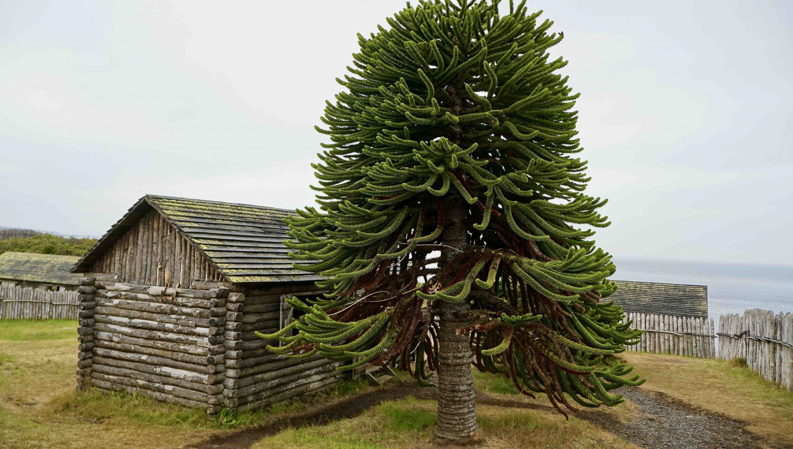
Punto Arenas is located on the Strait of Magellan, the navigational shortcut for ships seeking to avoid the treacherous winds and currents and extra days needed to sail around Cape Horn. The original Spanish explorers recognized the importance of controlling ship traffic through the Strait. Thus on a hill overlooking the Strait, they established a military presence called Fort Bulnes in 1843. But the landscape around Fort Bulnes was too steep and difficult to cultivate enough food to sustain its inhabitants. So after a few years, the military garrison at Fort Bulnes was moved to the current location which grew into the city of Punto Arenas.
Our tour excursion guide to Fort Bulnes and the Magellan Strait overlook was a native Punto Arenas lady of Croatian extraction. In the course of our bus’s return journey to the ship, she passed around two books about the original indigenous inhabitant of Tierra Del Fuego. I’m about to tell a very sad story of Chilean history with parallels to similar sad stories in American history.
I grew up in Columbus, Georgia, located in Muscogee County on the Chattahoochee River. These two names, Muscogee and Chattahoochee, came from the original native American inhabitants in Georgia, the (so-called) Creek Indians. In the 1800’s, they were forced onto transport trains as part of the “trail of tears,” which uprooted native Americans from the lush Southern states to the barren plains of Oklahoma. Many died in transit. Many died when they arrived in Oklahoma, when they could not adapt their traditional agricultural skills to a completely different landscape, climate, and environment. (Their reservations were not located in Oklahoma’s best land for farming.) In my Georgia hometown, only the names remain to remind us of the culture that we Americans destroyed. Chilean history is unfortunately similar, with the genocide committed more recently in the first decades of the twentieth century.
When Ferdinand Magellan first discovered the large island at the tip of South America, he saw numerous bonfires on the shoreline and on the mountainsides. This led him to name the island Tierra del Fuego, the Land of Fire. Those fires were vital to the culture of the Selk-Nam tribe consisting of several thousand people who had survived in this brutal landscape for centuries. Fire was transported in canoes by creating a mud floor in the floors of their canoes which allowed burning embers to be transported wherever the people traveled around the island. The book about the Selk-Nam that our guide showed us was published in 1919, which included the only existing photos of these amazing natives who were all killed within the next two decades.
Just as in the United States, the Chilean invaders pushed the native inhabitants away from their original home territories. When they attempted to fight back, bounties was offered to sharpshooters to bring heads or other body parts confirming the people they murdered. A higher reward was paid for dead women than for murdered men. When all but 110 Selk-nam had been annihilated, the pitiful survivors were rounded up and transported to a different small Chilean island. They were put under the care of a Silesian Catholic order, who hoped to convert them to Catholicism. But contrary to their original lifestyle, they were forced to wear clothes and sleep inside buildings. Within a few years they had all died. For a detailed historical account, visit Wikipedia and simply search https://en.wikipedia.org/wiki/Selk{bf249dfdd09a1798812467d1b6a3ef7a33c47359bd28517191144d5320771815}27nam_genocide.
In his explorations Ferdinand Magellan discovered a tribe of natives who were very tall compared with the Spanish sailors. He named them Patagons, from which the regional name Patagonia is derived. Today, only the regional name survives. All the Patagon original tribal inhabitants were exterminated. Of Chile’s original tribe that stopped the Incan invasion, some 1.5 million Mapuche live in Chile with an additional 200,000 living in Argentina. The Mapuche, like many indigenous groups around the world, are in constant demand for the return of their ancestral land. You can read a short description of Mapuche history here: https://theculturetrip.com/south-america/chile/articles/a-brief-history-of-chiles-indigenous-mapuche-people/
Even today, there are indigenous tribes within Brazil’s Amazon Basin that have had very little contact with modern civilization. However, because of the insatiable desire of Brazilian farmers for mahogany timber and cheap farmland, these tribes are being pushed off their homelands. Their bows and arrows are no match for firearms. History is repeating itself in the destruction of native cultures. Perhaps this is the unavoidable nature of Homo Sapiens, which began with the Homo Sapiens’ annihilation of the Neanderthals, followed by the continued human-caused extinction of many animal species, from mastodons to carrier pigeons to the many current endangered species, threatened by the relentless hunting and habitat encroachment by humans.
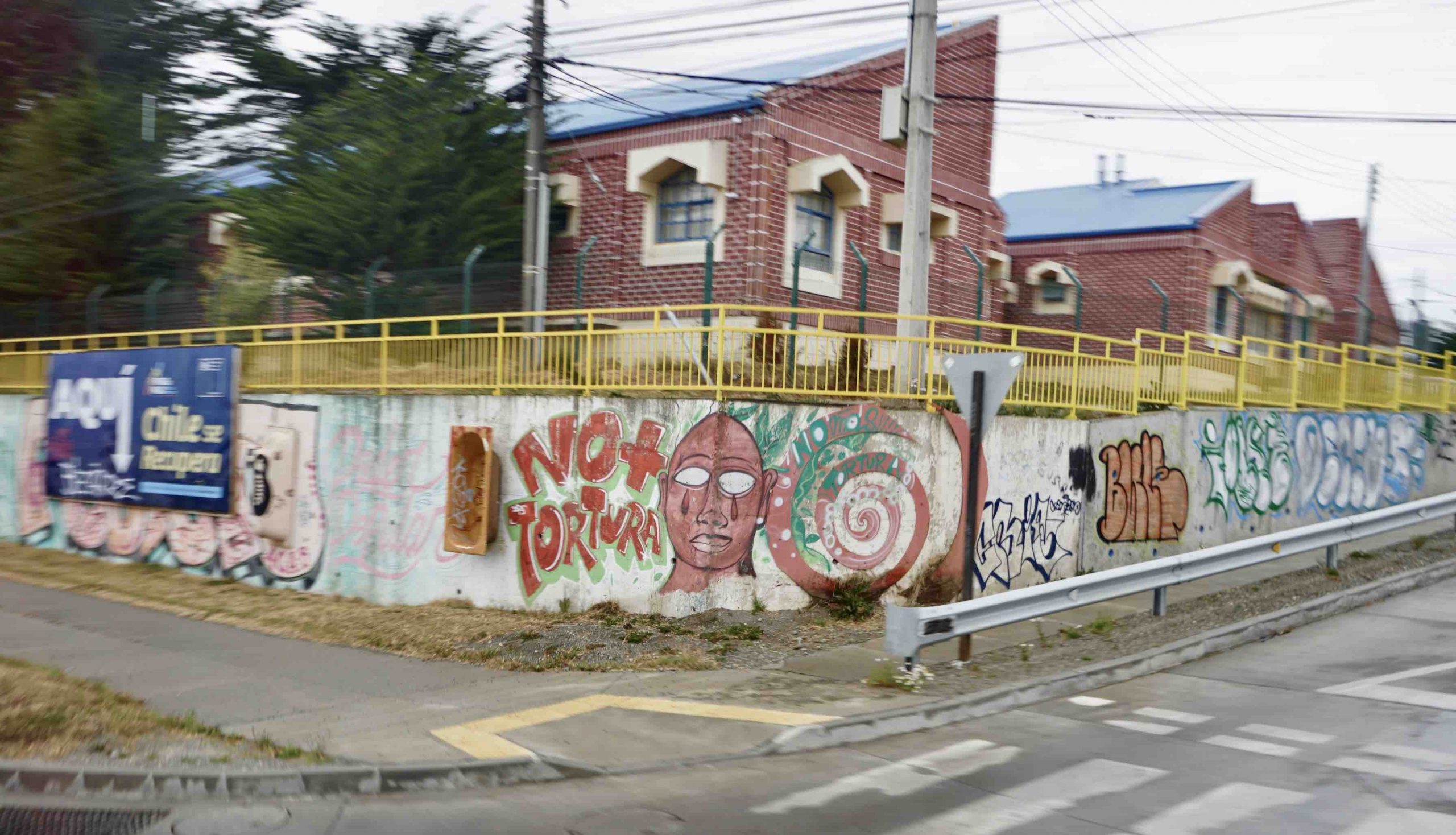
We cannot judge or condemn modern peoples by their past histories. Germans have had to come to grips with their history of Hitler and the Nazis. The Japanese have had to confront the fact that their attack on Pearl Harbor led to their becoming the first (and hopefully the last) victims of atomic bombs. In the US, we have to be mindful of the fact that the first slaves were transported to the Americas in 1619, and the American history of slavery is longer than our history as a constitutional republic. Racial animus and the negative effects of our history of slavery still plague American society today. Some politicians would like to outlaw the teaching of the shameful aspects of our history that informs students of the appalling institution of slavery and its continuing effects on our society. I’m sure that modern Chileans would prefer to forget the genocide committed by their ancestors. Many older Chileans are still recovering from the legacy of the dictator Pinochet, whose deadly regime followed the American-sponsored coup against the democratically elected President Allende.

I didn’t know much about Chile prior to this cruise. Chile has (approximately) 43,000 islands. We sailed past hundreds of them, mostly uninhabited. It’s a beautiful country that I would be happy to visit again. It’s landscapes are incredible. Its wines are world-class. Its people are very tourist-friendly. Their standard of living is relatively high. I never saw any beggars or homeless people living on the streets. That’s more than I can say for the US.
This cruise has reminded me once again, that every country has its unique history and culture. Some countries may be similar in many ways, such as the Central and South American countries that speak Spanish. They all share the historical legacy of those intrepid Spanish explorers in the 16th century. (Unique in South America, Brazilians trace their history to the Portuguese explorers.) But it would be a great mistake to equate the various Latin American countries because of their shared history and similarities.
I am writing this blog during our four sea-days sailing from Tierra del Fuego, Chile, to our next port of call, Uruguay. Enjoy my photos of Chile. Perhaps “a picture is worth a thousand words.”

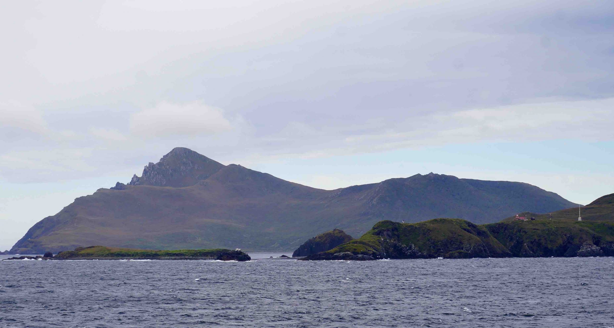
Notice the lighthouse on the right, designed to be visible to ships approaching from the northeast.
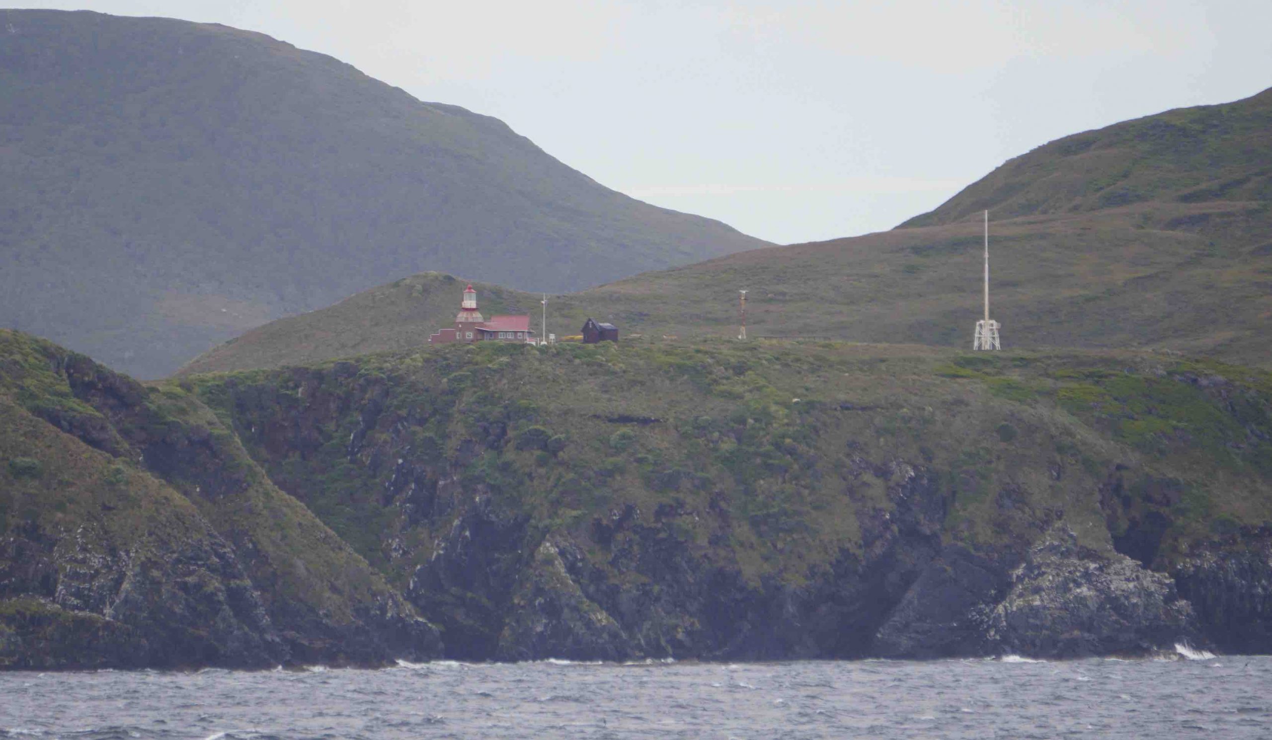
They will live at the lighthouse for one year, until the next caretaker comes to relieve them.
8 Comments on Southern Chile's Dramatic Landscapes
Join the Conversation